Tuesday, 12 March 2013

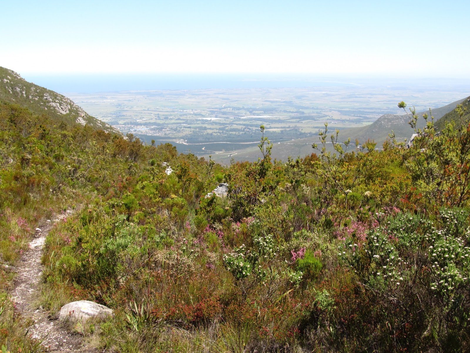
Forest Buzzard Trail


START: Witfontein Reserve
END: Witfontein Reserve
DISTANCE: 2.5 km
ELEVATION GAIN: 110 m
TERRAIN: Mostly single track.
Directions: From the Traffic Circle in Heatherpark in front of the Engen filling station, exit towards Oudshoorn on the N9 / N12. Drive about 800 m then turn right onto the Montagu Pass road. The road makes a left turn and becomes a gravel road. From here it is 400 m to the turnoff to the right for the Witfontein Reserve Offices.


 There is an alternative starting point to this trail which makes the hike 7 km. It’s a beautiful route and easy to find. Its starts at the end of Arbour road in Glen Barry, George.

GPX FILE
KML FILE

Tuesday, 5 March 2013

George Dam via Tierkop


START: Saasveld
END: Saasveld
DISTANCE: 16 km
ELEVATION GAIN: 774 m
TERRAIN: Mostly gravel road or double track,
 but the last stretch to dam is single track.
(Single track slightly overgrown at some places, but still accessible)

Directions: From Knysna road in George take the Saasveld road turnoff. Follow this road for about
5 km then turn left to the NMMU (Nelson Mandela Metropolitan University). Sign in at the gate and head straight on for 2 km until the road turns into a dirt road. Follow the dirt road until you reach a locked gate. Park on the left of the gate and not in front of it. Your hike starts here.

GPX FILE
KML FILE

Craddock Pass


START: Witfontein Reserve 
END: Witfontein Reserve
DISTANCE: 14 km
ELEVATION GAIN: 846 m
TERRAIN: Single track with steep inclines and
 some overgrow near the railway line. Fitness important !

Directions: From the Traffic Circle in Heatherpark in front of the Engen filling station, exit towards Oudshoorn on the N9/N12. Drive about 800 m then turn right onto the Montagu Pass road. The road makes a left turn and becomes a gravel road. From here it is 400 m to the turnoff to the right for the Witfontein Reserve Offices.

GPX FILE
KML FILE

Power Station Hike


START: Witfontein Reserve
END: Witfontein Reserve
DISTANCE: 10 km
ELEVATION GAIN: 448 m
TERRAIN: Mostly double track and railway tracks. Some nice single track the last 2 km.
Directions: From the Traffic Circle in Heatherpark in front of the Engen filling station, exit towards Oudshoorn on the N9 / N12. Drive about 800 m then turn right onto the Montagu Pass road. The road makes a left turn and becomes a gravel road. From here it is 400 m to the turnoff to the right for the Witfontein Reserve Offices.

GPX FILE
KML FILE